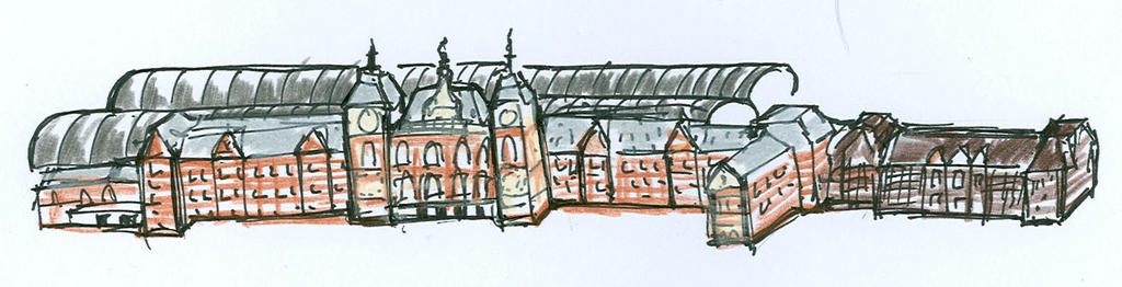
De map of the ports of Amsterdam is almost ready after three weeks of hard work. Here a first glimpse.
posted by creative projects at 7:45 AM
0 comments
![]()
![]()
De map of the ports of Amsterdam is almost ready after three weeks of hard work. Here a first glimpse.
posted by creative projects at 7:45 AM
0 comments
![]()
![]()
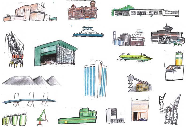 And a lot more drawings, since the total is going to 80, here just a selection. A question; the white building with the blue stripes is what?
posted by creative projects at 12:26 PM
0 comments
![]()
![]()
 More drawings for the Seaports of Amsterdam project. With the clock: student housed in containers, the Maritime Museum, luxury houses in former storage buildings, NEMO, The Passengers Terminal Amsterdam and one of many different ferries.
posted by creative projects at 10:53 AM
0 comments
![]()
![]()
 For a bird view drawing of the central station this picture will do.
posted by creative projects at 8:21 AM
1 comments
![]()
![]()
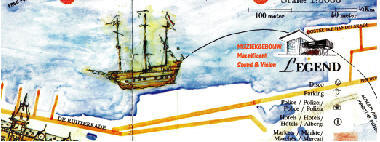
 The final size (100 x 35 cm) and cut out is decided. It will show all harbors between IJmuiden and the Y.
posted by creative projects at 4:26 AM
0 comments
![]()
![]()
 A first test of a part of the harbor, to see how the scale works out.
posted by creative projects at 4:21 AM
0 comments
![]()
![]()
 And the preferred drawing is placed on the map with a little description.
posted by creative projects at 4:12 AM
0 comments
![]()
![]()

posted by creative projects at 3:57 AM
0 comments
![]()
![]()
 A picture of the scale model of the new Muziekgebouw, one of the sources for a drawing of the building
posted by creative projects at 3:54 AM
0 comments
![]()
![]()

posted by creative projects at 3:40 AM
0 comments
![]()
![]()
Owner of Creative Projects, Managing Partner at InterimIC and furthermore I teach copyright law, Crossmedia and business ethics at The New School in Amsterdam